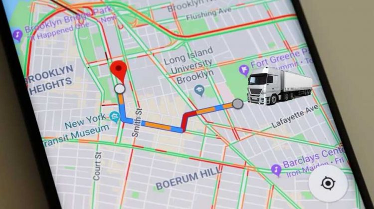
Google Maps is a widely used navigation app that offers detailed maps and turn-by-turn directions for various modes of transportation. While it doesn’t have a dedicated truck mode, you can still leverage its mapping capabilities for truck routes using some creative methods. In this tutorial, we’ll explore how to integrate Google Maps with truck-specific navigation apps like iGO Primo or NextGen.
Method 1: Using iGO Primo or NextGen

Step 1: Install iGO Primo or NextGen Truck Edition
- Download and install iGO Primo or NextGen Truck Edition on your Android device. Ensure that you enable installation from unknown sources in your device settings.
Step 2: Enable Location Sharing from Google Maps
- Open Google Maps and search for your desired destination.
- Tap on the location and select the “Share” option.
- Choose iGO Primo or NextGen from the list of sharing options.

Step 3: Navigate with iGO Primo or NextGen
- iGO Primo or NextGen will open with the selected location.
- Follow the prompts in iGO to generate a truck-optimized route to your destination.
Method 2: Using Send to Navigation
Step 1: Install Send to Navigation
- Download and install the “Send to Navigation” app from Google Play Store.
Step 2: Share Location from Google Maps
- Open Google Maps and search for your destination.
- Tap on the location, then select “Share.”
- Choose “Send to Navigation” from the sharing options.
Step 3: Route Planning with Truck GPS App
- Send to Navigation will open and prompt you to select your preferred truck GPS app (e.g., iGO Truck, Sygic Truck).
- The truck GPS app will then generate a truck-friendly route based on the Google Maps location.
Method 3: Using Coordinates with Truck GPS Apps

Step 1: Find Coordinates in Google Maps
- Locate your destination in Google Maps.
- Long-press on the map to drop a pin, then tap on the pin to view coordinates.
Step 2: Input Coordinates into Truck GPS App
- Open your truck GPS app (e.g., iGO Primo, Sygic Truck).
- Use the coordinates obtained from Google Maps to set your destination within the truck GPS app.
Step 3: Navigate to Destination
- The truck GPS app will calculate a route based on the entered coordinates, providing truck-specific navigation guidance.
Conclusion
While Google Maps lacks a dedicated truck mode, you can integrate it with truck-specific GPS apps like iGO Primo or NextGen using these methods. By leveraging location sharing and coordinate inputs, truck drivers can benefit from Google Maps’ comprehensive mapping data alongside truck-optimized routing provided by specialized GPS apps. These solutions offer a workaround for truck navigation, combining the best of both worlds for accurate and efficient truck routing.
Leave a Reply